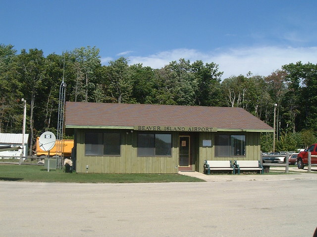
The municipal airport.  This airport is lighted from dusk to dawn.  100LL fuel is available for your plane.  The terminal building has public restrooms, payphone and a small lobby. There are three runways available*.

Runway 5/23

                    Dimensions: 2130 x 120 ft. / 649 x 37 m
                       Surface: turf, in fair condition 
          Runway edge markings: /23 MKD WITH 3 FT CONES; RY 23 DSPLCD THLD
                                MKD WITH 3 THREE FT YELLOW CONES EACH
                                SIDE. 
                                RUNWAY 5                 RUNWAY 23
               Traffic pattern: left                     left
                      Latitude: 45-41.50747N             45-41.75350N 
                     Longitude: 085-34.16167W            085-33.82520W 
  Runway end identifier lights: no                       no 
             Centerline lights: no                       no 
           DISPLACED THRESHOLD: no                       yes 
                   DT distance:                          794 ft. 
               Touchdown point: no                       no 
                  OBSTRUCTIONS: TREES                    TREES 
                        Height: 64 ft.                   43 ft. 
                Slope to clear: 20:1                     6:1 
       Distance from threshold: 1280 ft.                 258 ft. 
      Distance from centerline: 0 ft. both sides         130 ft. 
Additional obstruction remarks:                          APCH RATIO 20:1 AT
                                                         DSPLCD THLD BASED ON
                                                         STRAIGHT OUT. 


Runway 9/27

                    Dimensions: 4000 x 50 ft. / 1219 x 15 m
                       Surface: asphalt, in good condition 
            Runway edge lights: medium intensity 
                                RUNWAY 9                 RUNWAY 27
               Traffic pattern: left                     left
                      Markings: basic                    basic 
            Markings condition: fair                     fair 
                      Latitude: 45-41.48882N             45-41.48717N 
                     Longitude: 085-34.59412W            085-33.65470W 
     Threshold crossing height: 24 ft. AGL               32 ft. AGL 
       Visual glide path angle: 3.00 degrees             4.00 degrees 
        Visual slope indicator: 2-box VASI on left       2-box VASI on left 
  Runway end identifier lights: yes                      yes 
             Centerline lights: no                       no 
           Displaced threshold: no                       no 
               Touchdown point: no                       no 
                  OBSTRUCTIONS: TREES                    TREES 
                        Height: 60 ft.                   65 ft. 
                Slope to clear:                          10:1 
       Distance from threshold: 201 ft.                  850 ft. 
      Distance from centerline: 180 ft. both sides       219 ft. right 
Additional obstruction remarks:                          APCH RATIO 25:1 BASED
                                                         ON STRAIGHT OUT OVR 36
                                                         FT TREES, 1100 FT
                                                         DSTCS L/R. 


Runway 14/32

                    Dimensions: 3300 x 120 ft. / 1006 x 37 m
                       Surface: turf, in fair condition 
          Runway edge markings: /32 MKD WITH 3 FT CONES; DSPLCD THLDS MKD
                                WITH 3 THREE FT YELLOW CONES EACH SIDE. 
                                RUNWAY 14                RUNWAY 32
               Traffic pattern: left                     left
                      Latitude: 45-41.71647N             45-41.35285N 
                     Longitude: 085-34.07775W            085-33.50172W 
  Runway end identifier lights: no                       no 
             Centerline lights: no                       no 
           DISPLACED THRESHOLD: yes                      yes 
                   DT distance: 533 ft.                  310 ft. 
               Touchdown point: no                       no 
                  OBSTRUCTIONS: TREES                    TREES 
                        Height: 54 ft.                   33 ft. 
                Slope to clear: 10:1                     6:1 
       Distance from threshold: 550 ft.                  198 ft. 
      Distance from centerline: 0 ft. both sides         125 ft. 
Additional obstruction remarks: APCH RATIO 20:1 AT       APCH RATIO 16:1 AT
                                DSPLCD THLD.             DSPLCD THR; CTL OBSTN
                                                         36 FT TREES; 576 FT FM
                                                         DSPLCD THR, 90 FT
                                                         R/L.. 

* Information from http://www.airnav.com/airport/KSJX 

Home ] Up ]

This ends the West Side section of the tour

Harbor-Town ] Donegal Bay ] King's Highway ] The East Side ] The South End ] The West Side ] West North-West ] Garden Island ] Hog Island ] Squaw Island ] Lansing Shoals ]


                                      Copyright ©1999, 2000, 2001, 2002, 2003, 2004, 2005    Beaver Island Virtual Tour  All rights reserved.